You might be asking, what exactly is the Eno?
The Eno is a small river that snakes about 40 miles through central North Carolina’s Orange and Durham Counties, until it joins a few other rivers and streams to form Falls Lake and the Neuse River. The Neuse goes on to empty into the Pamilco Sound not too far from one of our favorite travel spots anywhere, Beaufort, North Carolina.
Back when I was a kid, the Eno was one of my favorite spots for adventure.
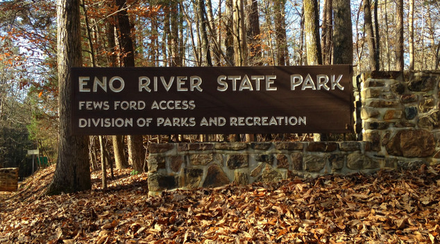
I grew up just about a mile’s walk from the Eno River and not much farther from the Eno River State Park. The River, the Park, and the surrounding areas were a playground for me and my friends in the 1970s and 80s. While both Orange and Durham Counties have experienced rampant grown since, the Eno River State Park has done well preserving some of those wild areas along the river.
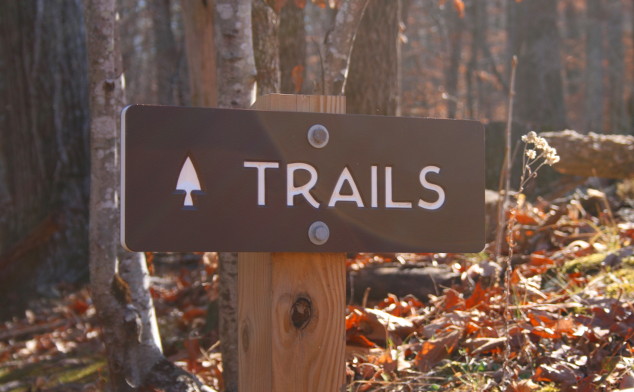 The Eno is one of the best spots for hiking in central North Carolina
Though we often think of travel as going far afield, it’s pleasant to remember some of the wonderful spots near home.
It’s been a chilly fall so far here in North Carolina, so when we had one of those 70+ degree December days this past Monday, I took a little road trip back to the Eno River State Park, for some hiking, some reminiscing, and some peace and quiet before my business partner (and wife) head offs without me to the Caribbean, with the folks at Sandals.
While the park has sections both in Orange and Durham Counties, the largest portion of the park is at the western terminous of Cole Mill Road just a few miles from where US Highway 70 and Interstate 85 intersect east of Hillsborough and just west of Durham.
This entrance to the park is known as the Fews Ford Access.
It’s an easy drive from both the Triangle and the Triad and a great way to break up a longer road trip if your travels take you down I–85.
Let us know if you need exact directions.
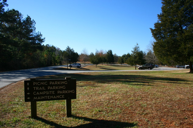 Parking area near the Cox Mountain Trail head and the Fews Ford picnic area
I decided to hike the Cox Mountain Trail near the Park’s center. From one of the Park’s brochures and trail maps:
Begin this hike in the Fews Ford picnic area. It is a loop and is a 3.75 mile round trip. The hike can be lengthened by adding the Fanny’s Ford Trail loop, which intersects from the northeast. The trail passes beside the picnic area, down to the river and crosses the river on a suspension foot bridge. The trail climbs 270 feet in elevation from the river to the hilltop. A long steep climb and descent is required.
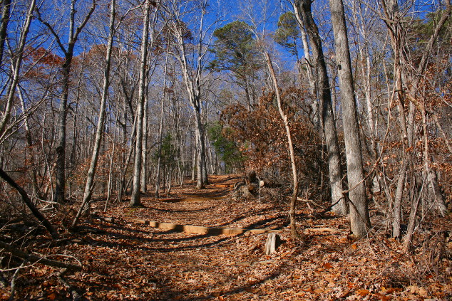
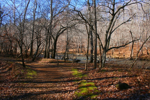
In this part of North Carolina, with the exception of maybe the Willow Oaks, almost all the leaves are now off the trees, but they are just down and cover the ground entirely. Leaves on the trails were packed down from other hikers, but rain, and wind, and time had not yet had their impact, and the browns of the leaves and the blues of the sky made for a nice contrast.
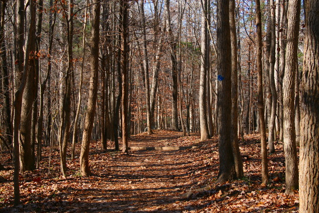 Near the start of the Cox Mountain Trail
The trail starts as an easy stroll through the woods, and then reaches the top of a steep bank looking down to the river.
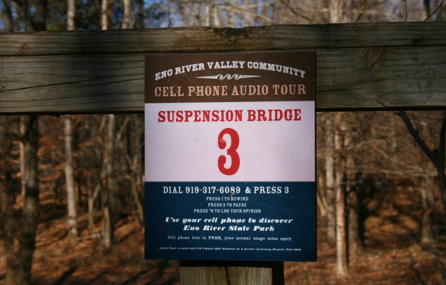
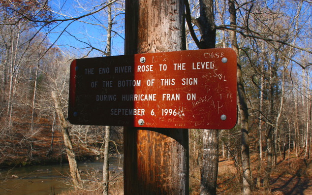
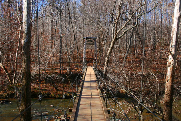
It continues along the bank and then descends to the river and a suspension bridge that allows for easy crossing. For a river with a depth normally measured in inches, the bridge may seem like overkill. But, the Eno is also know for sudden and drastic rises from rainfall. In addition to a sign on the bridge detailing the Eno Valley Community’s cell phone recorded tour of the River area, there’s also a sign which must be 15 feet or more above the normal water line. That sign represents the high water mark after hurricane Fran in 1996.
Take a listen to the recording, as it offers some interesting information about the surrounding area and the difficulties encountered before the bridge was constructed back in 1981.
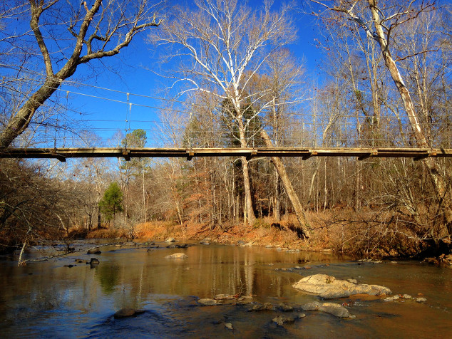
Just on the far side of the bridge is good access to the rocks along the river and a perfect place for the kids to play a bit and to grab a shot of the bridge from the water’s edge.
From the river, the trail continues to ascend into the interior of the park and to the top of Cox Mountain. And while it’s elevation of just of 300 vertical feet from the river seems almost funny, you’ll find it more of a strenuous hike than you might think.
The top of Cox Mountain is crossed by a set of power lines that clutters up the remote feel of the park somewhat. It opens up the view though and marks a change from the climb to a hike along a short ridge that ultimately descends to a small creek that feeds the Eno.
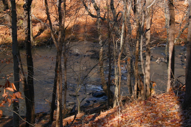
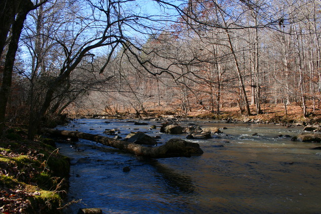
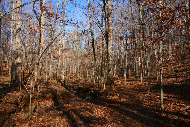 Near the foot of Cox Mountain and a small creek leading back to the Eno
This is an interesting portion of the hike and the park, as it is a distance from the parking lot and even on more crowded days, you’ll likely be alone. The area is quieter and feels older and more secluded. You’ll hike along this small creek for a few minutes until returning to the River.
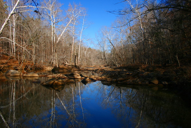
For quite a while I was completely alone and enjoying views like these.
From the River, the trail ascends back across the lower third of Cox Mountain and to the bridge. It then backtracks to the picnic area and the parking lot.
My morning on the Eno was perfect, and was a reminder not to forget our own backyards when thinking of travel.
Sometimes a short trip can be perfect.
While researching this piece I also discovered that since I left Orange County in the early 1990s, a number of new parks with plenty of trails have come along. We’ll be checking those out in future posts.
Stay tuned and don’t forget to:
Relax…you CAN get there from here!

 Hi! I'm Jennifer Newsome and I own and operate Southern Girl Travel with some help from my husband, Mark, and our three kids. This shot was taken in beautiful